





















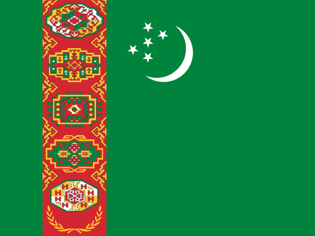
 Airports in Turkmenistan.
6 airports with an IATA code, 2 of them large. Coordinates open the airport on the map.
| IATA | ICAO | Airport | City | Type | Coordinates |
|---|---|---|---|---|---|
| CRZ | UTAV | Türkmenabat International Airport | Türkmenabat | Large airport | 38.9307° N, 63.5640° E |
| TAZ | UTAT | Dashoguz International Airport | Daşoguz | Large airport | 41.7599° N, 59.8361° E |
| ASB | UTAA | Ashgabat International Airport | Ashgabat | Medium airport | 37.9868° N, 58.3610° E |
| BKN | UTAN | Balkanabat International Airport | Balkanabat | Medium airport | 39.6811° N, 54.2060° E |
| KRW | UTAK | Turkmenbaşy International Airport | Turkmenbaşy | Medium airport | 40.0628° N, 53.0051° E |
| MYP | UTAM | Mary International Airport | Mary | Medium airport | 37.6235° N, 61.8957° E |
Source: OurAirports (data of 6 Nov 2026, Public Domain). Type and scheduled-service flag as classed there. "No scheduled service" means the data set lists no scheduled passenger flights; cargo or charter flights may still operate. Map links open the airport on Navo Map.