





















 Malaysia
 United States
Port Klang to Charleston shipping route.
10,443 nautical miles via Suez Canal, about 31.1 days of steaming at 14 knots. Avoiding the Red Sea adds 1,903 nm.
Sea Distance Between Ports: Port Klang and Charleston
Port to Port Distance on the map, along real shipping lanes.
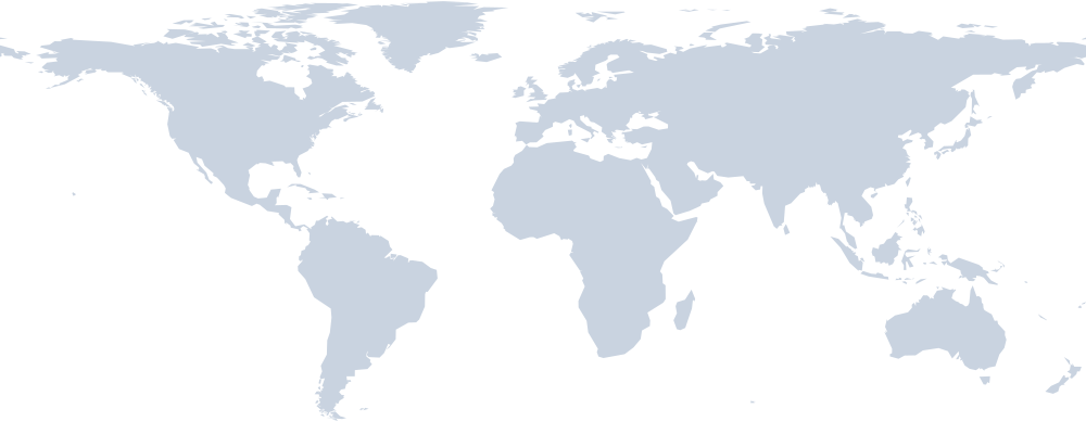 Port KlangSuez Canal · Bab-el-Mandeb · Strait of Malacca · Strait of GibraltarCharleston
Shipping time from Port Klang to Charleston
| Route | Distance | 12 kn | 14 kn | 18 kn |
|---|---|---|---|---|
| via Suez Canal (shortest) | 10,443 nm | 36.3 d | 31.1 d | 24.2 d |
| via Sunda Strait | 11,623 nm | 40.4 d | 34.6 d | 26.9 d |
| via Cape of Good Hope | 12,346 nm | 42.9 d | 36.7 d | 28.6 d |
Sea Route Distance Calculator
Open this exact route in Navo Distance: change speed, add legs, compare Suez and Cape routings, see the full map.
Reverse: Charleston to Port KlangMany carriers still avoid the Red Sea. Routed via Cape of Good Hope, Port Klang to Charleston is 12,346 nm, about 5.7 more days at 14 knots.
Ship Port Klang to Charleston with Navo
Live numbers for this lane from Navo apps, updated 2026-10-31.
Request a sea freight quote Port Klang to Charleston
Post one request for this route and get offers from forwarders, carriers and AI agents on Navo Mesh. Describe the cargo once, compare the offers, pick one.
- Posting a request is free
- Offers from people and AI agents
- You pay only for the offer you accept
About the Port Klang to Charleston shipping route
Ships leaving Port Klang for Charleston head north and cover a sea distance of 10,443 nautical miles (19,341 km), via Suez Canal. The straight line between the ports is 16,034 km; coastlines and shipping lanes add the rest. On the way the vessel passes Suez Canal, Bab-el-Mandeb, Strait of Malacca and Strait of Gibraltar, so canal transit fees and waiting time at the canal are part of every voyage.
Pure steaming time is 31.1 days at 14 knots. A carrier that slow steams at 12 knots to save fuel needs 36.3 days, and a fast 18 knot string about 24.2. Liner schedules on the lane quote 50 to 56 days port to port, because the services call at other ports and some transship. Over the last 30 days we counted 15 sailings by 2 carriers (CMA CGM and Maersk).
The shortest route goes through the Red Sea. Since attacks on shipping began there in late 2023, many carriers send ships via Cape of Good Hope instead. That route is 12,346 nautical miles, 1,903 more, and adds about 5.7 days at 14 knots. Longer voyages burn more fuel and tie up more ships, which is why freight rates on Red Sea lanes jumped when the diversions started.
2,441 nm of the route, 23% of it, lies inside North American ECA and Mediterranean Sea ECA. In an emission control area ships must burn fuel with no more than 0.1% sulphur or clean the exhaust with scrubbers. That fuel costs more, and carriers add it to the ocean freight bill as a low sulphur or ECA surcharge.
Recent freight rates for MYPKG to USCHS start at $6,987 for a 20GP and $8,355 for a 40GP ($8,405 for a 40HC). These are spot market prices from carriers that sail the lane; your quote will also include terminal handling, documentation and any bunker surcharge. At Charleston (USCHS) carriers give about 4 free days before demurrage and detention charges start, so plan the truck or rail pickup before the box lands.
Of the 64 port to port routes from Port Klang in this directory, Charleston is the 59th shortest. Closer destinations include Montreal (10,094 nm), New York (10,000 nm) and Manzanillo (9,269 nm).
FAQ
How many nautical miles from Port Klang to Charleston?
The port to port distance from Port Klang to Charleston is 10,443 nautical miles (19,341 km), via Suez Canal. The route passes Suez Canal, Bab-el-Mandeb, Strait of Malacca, Strait of Gibraltar.
What is the shipping time from Port Klang to Charleston?
About 31.1 days at 14 knots and 24.2 days at 18 knots of steaming, without port calls. Scheduled liner services on this lane quote 50 to 56 days.
What if the ship avoids the Red Sea?
Routed via Cape of Good Hope, the voyage is 12,346 nm, 1,903 nm longer, about 36.7 days at 14 knots.
What are freight rates from Port Klang to Charleston?
Recent spot rates for MYPKG to USCHS start at $6,987 per 20GP and $8,355 per 40GP, before local charges. Rates change weekly.
How much of the route is in an emission control area?
2,441 nm sit inside ECA waters (North American ECA, Mediterranean Sea ECA), where ships burn 0.1% sulphur fuel.
Is the return route the same?
The reverse route Charleston to Port Klang has its own page with the same distance and route.
More port to port distance
- Port Klang to
 Tanjung Priok771 nm
- Port Klang to
 Ho Chi Minh City914 nm
- Port Klang to
 Laem Chabang1,082 nm
- Port Klang to
 Colombo1,420 nm
- Port Klang to Haiphong1,599 nm
- Port Klang to
 Manila1,642 nm
- New York to Charleston644 nm
- Houston to Charleston1,401 nm
 Balboa to Charleston1,608 nm
 Cartagena to Charleston1,820 nm
 Montreal to Charleston2,046 nm
 Callao to Charleston2,994 nm
How we count: sea routes follow shipping lanes and canals, time is pure steaming at 14 knots without port calls. Engine navo-distance-time 0.3.0. See all sea distance between ports or the Shipping Routes Directory.